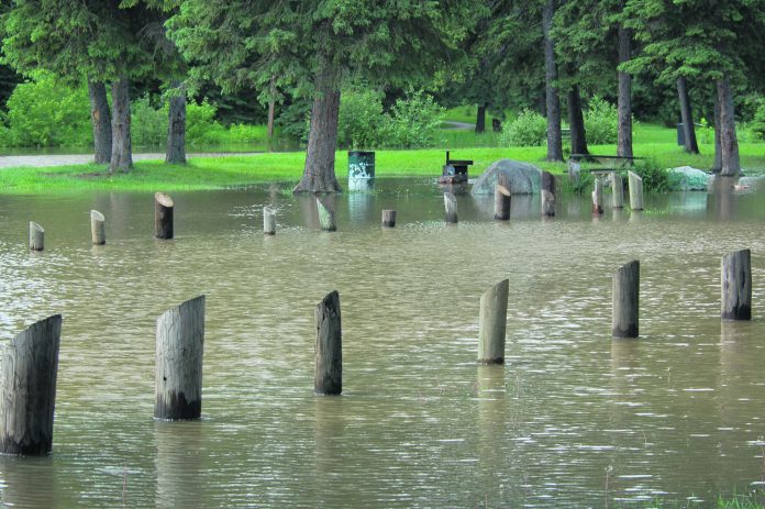
As spring begins in the central and northern parts of the province, the risk of flooding becomes a reality for many farmers and rural residents.
Last Friday the provincial Water Security Agency released its updated spring runoff map.
Since the last update, the east central part of the province near the Hudson Bay area is expecting to see at or above normal flows, while the Prince Albert area is still anticipated to see below normal flows.
Localized issues are also beginning to arise.
Tuesday the James Smith Cree Nation issued a partial state of emergency due to spring flooding and poor road conditions.
Farmers near the Tisdale and Melfort areas have indicated wet farmland is preventing them, in some cases, from beginning to seed.
According to Water Security Agency spokesperson Patrick Boyle, how the weather behaves over the next few weeks will have major impacts on potential flooding issues.
“Conditions for most of the province going into freeze up were fairly saturated, so a lot of that water could still be on the landscape,” he said.
“If you go further east, you start seeing more of that. That’s where we’re starting to see some of those issues as runoff continues on. It could have an impact on seeding. It just depends on how much standing water is there and how it comes off. A lot of that is weather dependent.”
For more on this story, please see the April 5 print or e-edition of the Daily Herald


