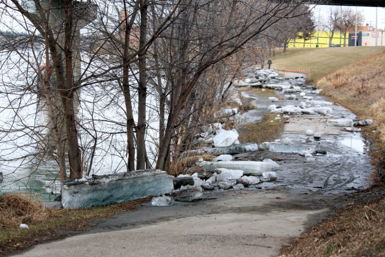
The City of Prince Albert will start looking for federal or provincial funding before deciding which flood prevention measures they’ll install along the North Saskatchewan River.
Council spent roughly 20 minutes debating the decision on Tuesday after hearing a report on the 2019-2020 Flood Mapping Study during Monday’s executive committee meeting.
Mayor Greg Dionne said they have several options at their disposal thanks to the updated data, but it will all depend on funding. Those options include building berms near city-owned properties like the Water Treatment Plant, while using temporary water-filled barriers in residential areas.
The updated study shows roughly 1,600 properties would be affected by a 1:500 year flood, a significant departure from older studies, which showed roughly 2,400.
“Today we have current information,” he said. “That’s going to relieve almost 800 people who were worried about being in the flood plain.
“I always say to anyone who’s bringing me data, ‘it’s got to be current.’ The data we had … was 10 years old.”
City officials plan to apply for funding immediately. Planning and development director Craig Guidinger said programs to help cities deal with flooding are already in place, and shouldn’t be affected by the COVID-19 pandemic.
“Typically the intake for those programs is in October, so it depends on how (quick) we can get our information together,” Guidinger said after Monday’s meeting. “It’s usually five-year programs and I know they’ll be in place for the next few years.
“(COVID-19) certainly won’t delay my efforts.”
Guidinger said he’s fielded plenty of calls from contractors and real estate agents wondering how the City’s flood mitigation plans will affect residential development in potential flood areas. At this point, he said the City has no plans to add or change zoning bylaws, and is still approving building permits.
The flood mapping study from Stantec offered several mitigation options to prevent property damage due to flooding. Among them were bylaws that would give the City first right of refusal on flood zone properties put up for sale. That would allow them to redevelop the area into a recreation hub, a nature reserve or wetlands.
Those suggestions generated little discussion during Monday’s meeting. Instead, city council focused on berms and water-filled barriers as the best way to protect the area.
At least one city councillor wasn’t convinced berms were the best way to go. Ward 4 Coun. Don Cody said council should focus on using water-filled barriers instead, and lobby provincial organizations like the Water Security Agency to manage ice-jams on the North Saskatchewan River more effectively.
“That’s the kind of thing I think we need to be careful of each year,” Cody said during the meeting. “We didn’t have much snow here. We didn’t have much water. The water came shooting down, and of course the ice made it a problem. There’s no question about that.”
Cody praised the flood mapping study for its thoroughness, but added that he still disagrees with a provincial government requirement that all cities recognize the 1:500 flood plain with their legislation.
Ward 4 is located in the East Flat, which is the second most vulnerable area of Prince Albert, according to the Stantec study. An 1:200 year flood would affect an estimated 18 properties, while a 1:500 flood would affect an estimated 82 properties.
The West Flat is the most vulnerable area of the city. It begins flooding at 1:75 year flood levels, when 13 properties would be affected. At 1:500 year levels, an estimated 378 properties would be flooded in the West Flat.
The Hazeldell area is Prince Albert’s third most vulnerable. An estimated 18 properties would be affected in a 1:200 year flood. That number jumps to 82 properties for a 1:500 year flood.
Prince Albert has experienced high-water flood marks in 1915, 1974, 1980 and 2013, which were used in Stantec’s estimations. The 1915 flood is considered to be a 1:200 year flood event. That year, waters from the North Saskatchewan River reached 8.5 metres above normal levels. The City also flooded in 1875 due to ice jams.
