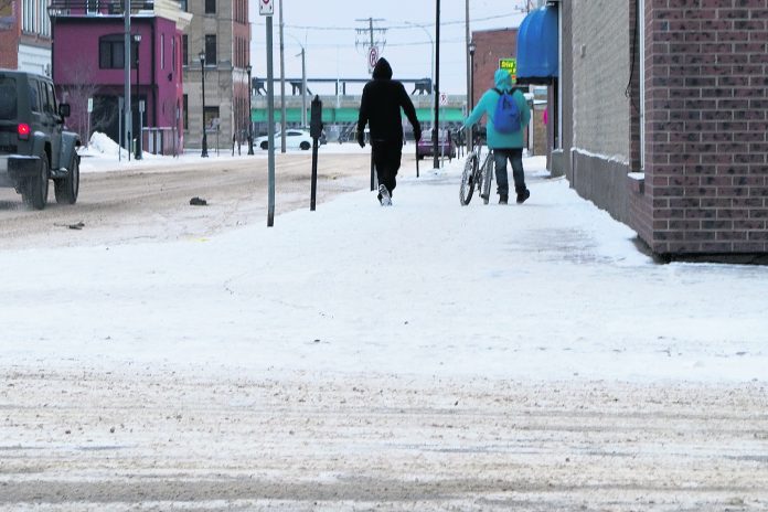
The worst of winter may be behind us, but it’s not expected to get particularly warm over the next several weeks, a meteorologist from the Weather Network says.
The network released its spring forecast early last week, and they’re expecting for cooler air to linger in the country’s west.
“It looks like it’s going to be a continuation of slightly cooler conditions heading through spring,” said Nadine Powell.
“Most of that will be Match into April. We’re looking at temperatures coming in slightly below average, but precipitation being slightly more than normal.”
For Prince Albert and area, that translates into March temperatures at or below zero, but nothing near the frigid cold seen this past winter. Early April should hover around the zero mark, with positive temperatures moving in during the latter part of the month.
“We were expecting most of the cold air to spread right across the country, and there was some potential for that air to push more to the east, but there isn’t a lot of arctic air directed into eastern sections,” Powell said.
“However, because of the pattern that’s set up, a lot of the cool air will settle in and bottle up across the prairie provinces.”
While it’s still a ways into the future, Powell expects the weather will return to near or above normal heading into late spring and early summer.
“Prince Albert is right on the edge as we head into summer,” she said.
“We could see temperatures either slightly above or around normal, so there is some indication temperatures will recover nicely heading out from spring.”
One of the factors driving temperatures are complex weather patterns called El Nino and La Nina that typically last nine to 12 months. They take place in a cycle, and are fluctuations in temperature between the ocean and the atmosphere in the east-central Equatorial Pacific. Still, thousands of kilometres away, they can have an effect on the climate of Saskatchewan.
This winter, the area was in a La Nina event, this represents below-average sea surface temperatures, making winter temperatures warmer than normal in the southeast and cooler in the northwest.
When an El Nino event occurs, warmer-than-average temperatures come to western and central Canada.
“Typically, when we have a La Nina situation, which we have right now, although it is weakening, we would see the jet stream pattern split further to the west and get a lot of snowy weather in B.C. A lot of those storms track down through the central prairies, and we’ve seen that over the last little while,” Powell said.
But it doesn’t look like that La Nina will shift to an El Nino. Instead, indications are we will head into a neutral period.
That means precipitation won’t be excessive.
“Most of the region will remain seasonal in terms of precipitation values, Powell said. “There will be storms tracking further to the south over the next few months, so that may alleviate some of the dry weather they’ve been experiencing further to the south.”
That’s good news for some of the province’s southern farmers, who dealt with an extended drought last growing season. Hopefully runoff from recent storms and other precipitation heading that direction might provide some much-needed moisture.
With the dry conditions at freeze-up, the Water Security Agency is expecting a lower than average runoff in the spring, according to its initial forecast released in February.


