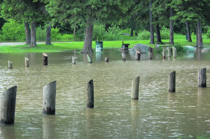
The dump of snow experienced in northern areas of the province, and an expected rapid snowmelt, could lead to flooding this spring.
The Water Security Agency (WSA) released its April update of the spring runoff forecast Thursday. Northern Saskatchewan is expected to see above normal spring runoff, while areas around Scott, Hudson Bay and north of P.A. up to Waskesiu are likely to see well above normal runoff. While widespread flooding is not expected, local flooding, out of bank flows and overtopping of roads could occur.
According to the forecast, well above normal runoff could create a one in ten year flooding event.
Most of the province had average snow accumulation as of April 1, with Scott, Prince Albert and Hudson Bay areas, as well as an area south of Cypress Hills, receiving above normal amounts of snow.
With colder temperatures continuing in early April, snowmelt runoff will be later than normal this year. According to the WSA, this increases the risk of a rapid snowmelt, resulting in higher runoff and flooding.
Despite the large amount of snow and above average spring runoff expected, the WSA doesn’t anticipate it will cause issues with the North Saskatchewan River at Prince Albert. The agency is predicting a peak flow of 1,000 metres cubed per second, the same as last year. A normal year sees a peak of 1,100 cubic metres per second, while the maximum ever recorded was 3,880 in 1974.
Southern Saskatchewan is facing a very different outlook. Most areas are likely to experience a below or well below normal runoff. Areas where below average snowmelt runoff is projected, water supply shortages may intensify and expand, such as in southern parts of the province where they experienced some drought-like conditions over the summer.


